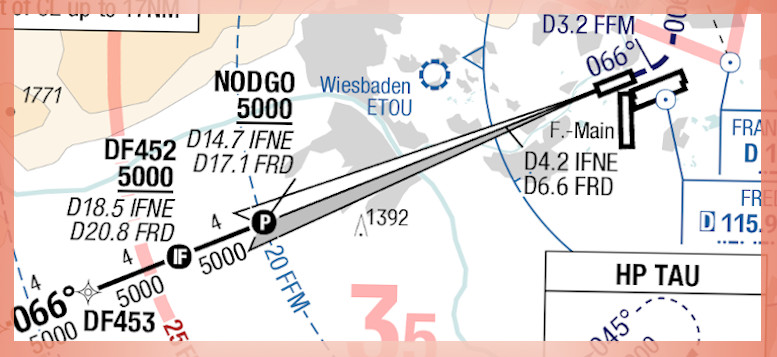
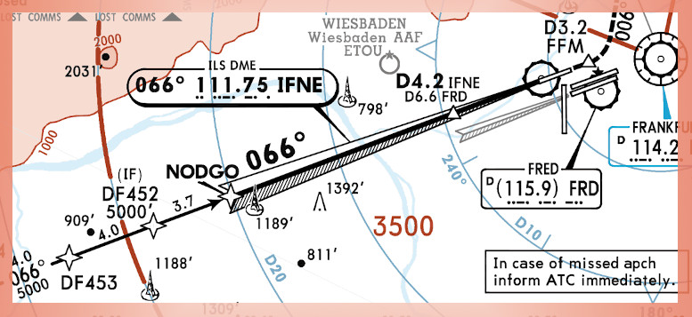
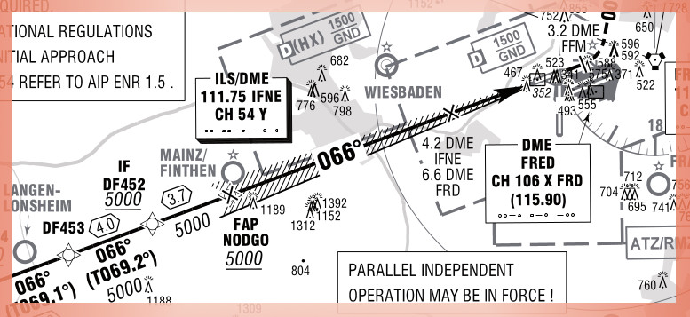
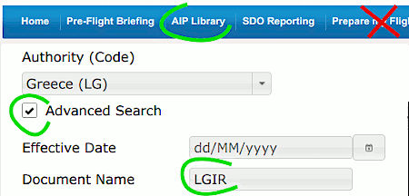
Aerosoft NavDataPro (LIDO charts) | Ufeta AviaPlanner (LIDO) | Navigraph Charts (Jeppesen charts) | EAD basic (Official State AIP) |
 |
 |
 |

|
|
Aerosoft NavDataPro end of life : December 2024. |

| ||
![]() Short memo : Chart types comparison |
Short memo : Chart types comparison | ![]() Flying to Aerodrome Operating Minima (AOM)
Flying to Aerodrome Operating Minima (AOM)
